If you are interested in learning more about GIS, there are a variety of GIS conferences, workshops, and events that you can take part in. They are fun,
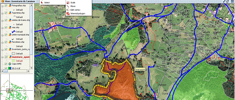
The geographic information system (GIS) framework is used to gather, process, and analyze spatial and geo-data. There are open-source (free to use) software solutions to consider if you
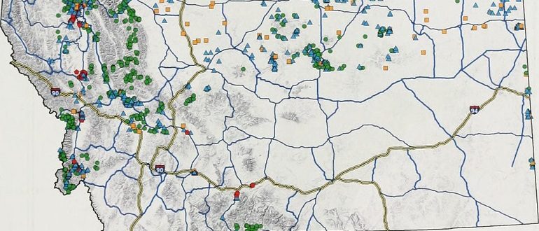
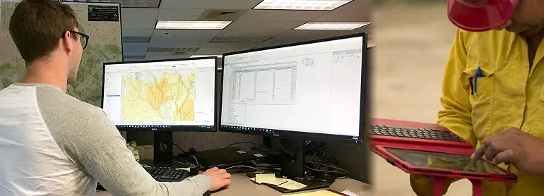
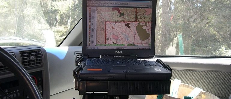
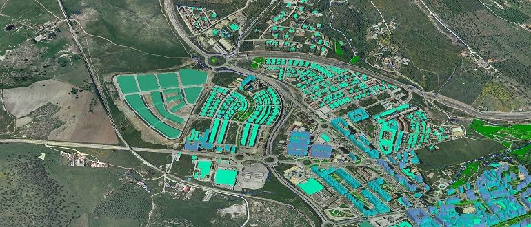
GIS means geographic information systems/science. GIS analysts use sophisticated software to bring maps alive. They bring together many sources of information and lay them over the landscape. Finding
As the study of geography progresses, so does the technology we use to interpret it. Managing and analyzing the collected data brings into play a framework referred to
A Geographic Information Systems (GIS) certificate is a perfect choice for individuals who are interested in beginning a career in GIS, learning new skills, or applying GIS applications
A geographic information system (GIS) is a framework for collecting, processing, and analyzing geographic and spatial data. To handle the processing requirements of working with GIS data you
Learning about geographic information systems (GIS) as a specialization allows students to explore software tools, delve into concepts, and understand the terminology used for spatial modeling and analysis.
