We are a team of professionals with many years of experience in the field of GIS and cartography. Over the years, we accumulated lots of experience that we would like to share with our colleagues interested in their career advancement within the GIS field. We also like to help those who are new to GIS studies.
The applications for GIS systems are expanding due to the megatrends of artificial intelligence (AI) programming, machine learning, and the IoT’s continued expansion. In 2020, the IoT reached over six billion endpoints, which was up 21% from the previous year. By 2026, the IoT device marketplace is expected to reach over $1.3 trillion.
Each device’s GIS location is useful as a device identifier. It is part of the larger data set that can be data-mined with effective AI-system analysis. One area that is exploding in growth is the GIS-related efforts in regards to vehicle autonomy. We are working on many projects in this field. Self-driving vehicles have already been deployed in many areas. GIS information is the basis for using the global positioning system (GPS) that guides the vehicles.
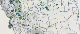
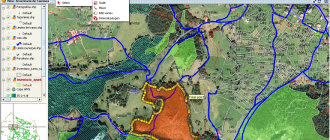
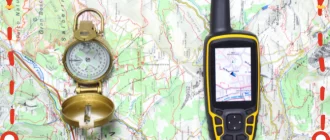
GIS works together with the information received from the GPS satellites to help people use the information in various beneficial ways. Think of GPS as a satellite network system and GIS as the software designed to capture, analyze, interpret, and store information collected from the navigational systems. GIS makes that information usable through data-interfaces and understandable graphical displays. The displays can be 2D or 3D graphically-coded maps in an unlimited number of styles depending on what the programmer is trying to convey.
We are constantly learning more ways to apply GIS system knowledge and increasing its useful applications. We keep a constant eye on the online educational resources and create in-depth reviews of what we find that we think warrants attention for ongoing and entry-level education.