Welcome to 101GIS
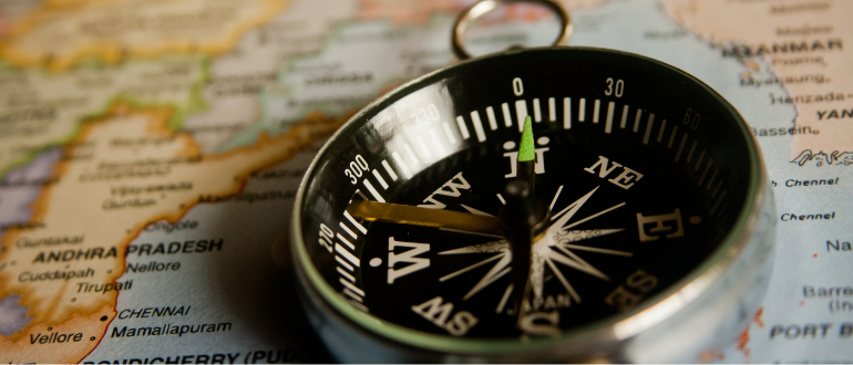
Did you know that the Canadian government hired Roger Tomlinson to develop the world’s first geological information system (GIS) in 1963? Since then, GIS systems have come a long way and are now a critical part of global telecommunications infrastructure.
Be Part of a Global Collaboration
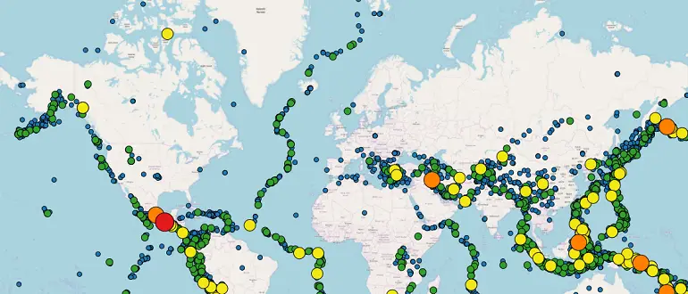
GIS gives everyone the ability to create accurate digital maps that are helping to solve global problems. GIS evolved to include data sharing and collaboration. It is used to build a continuous, interoperating database covering the entire world. Hundreds of thousands of organizations and millions of researchers share their GIS efforts by creating billions of GIS maps.
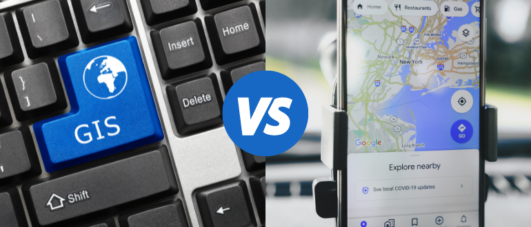
GIS maps are used to reveal stories, show patterns, track trends, and uncover relationships between everything. The GIS system is web-based using cloud computing services integrated with real-time information provided by the Internet of Things (IoT). GIS can be described as the nervous system of the Earth.
As the world tries to grapple with climate change impacts, GIS plays an integral role in understanding the problems. Tracking the changes may provide insights into the solutions through the commonly understood language of mapping.
GIS Courses and Certifications
We cover everything about GIS on this website, including how to become a GIS specialist and how to choose the right software, equipment, training courses, and certification programs. We also share theoretical material and current research on the subject and practical tips about how to learn about GIS systems. We hope you benefit from our experience and that our guidance will help you become a world-class GIS-specialist.