GIS means geographic information systems/science. GIS analysts use sophisticated software to bring maps alive. They bring together many sources of information and lay them over the landscape. Finding this information and knowing how to use it is the heart of geography. GIS developers build and shape the computer systems that enable this analysis.
What is the GIS Developer Job Like?
GIS developers write computer programs that create and enable GIS technology. They might be building an entirely new GIS system, or writing code to help existing systems solve complex problems. GIS developers are in high demand. There are more GIS jobs than people to fill them and software developers with the full skill set are in the greatest demand.
In day-to-day work, I saw GIS developers plotting the best spots in the city for bus stops on one day and planning wildlife corridors the next. In this job, you may be drawing congressional districts or creating an interactive map to find weaknesses in the power grid in developing nations. This is work that makes a difference in the real world. Projects are varied and fascinating.
The average salary in the US for GIS developers is $58K. This can go up to $138K for senior geomatics software engineers. Bachelor’s degrees are required for most jobs. Frequently, GIS development is a step up from entry-level positions in basic usage or backroom functionality. This is where you get to make and fix the programming.
This video features a developer who transitioned into the field from an entry-level GIS job, discussing how he made the change.
In the US, many GIS developers work for the federal government. After that, state and local governments employ many. The private sector, corporate, and nonprofit jobs make up the rest. The international job outlook is also strong. I have several friends who travel or live in different countries to do their international work.
The main duties of a GIS developer include programming, spatial analysis, database management, and web mapping. You will also likely find yourself doing cartography and remote sensing. Every day is a new challenge, and this is a job for people who embrace challenges, changes, and working with other people.
3 Steps to Becoming a GIS Developer
- Get a general education including knowledge of the world, spatial thinking, and problem-solving.
- Earn a GIS degree or certificate to learn analysis and software.
- Boost your programming ability and learn coding languages.
General Education
Most GIS jobs require a bachelor’s degree. I find most of these are degrees in geography, but any major that has you asking big questions about the world can work. History, biology, environmental studies, and computer engineering all can produce excellent GIS programmers.

Employers say that they need people with critical thinking skills, especially with spatial thought. You should ask questions and make connections. Employers want you to be curious about the world around you. You will need to work with data and understand how data works, how to find it, and what might be its limits. A geographic education provides knowledge of cartography, field methods, spatial statistics, and broad knowledge of the world itself.
I found other skills employers look for include adaptability to change because the field changes quickly, both in the questions we ask of GIS and in the software that builds the systems. You will need to enjoy being a life-long learner and adapting to these changes. You need to be able to work with a team and have good communication skills. These systems can have thousands of stakeholders and some days will feel like you are working with all of them. You need to be able to document your data and understand metadata. Importantly, you need to work ethically.
Of course, this being about programming software, occasionally people without degrees and with mad computer skills can get in. If you get hooked into a GIS from the programming side, you will have to go backward and be certain to learn the skills listed above as part of general education.
GIS Degree or Certificate
Getting a degree or certificate in GIS shows employers that you can use GIS systems generally. I find GIS systems to be highly specialized. Employers want to know that you have experience both in using the computer systems and in using geographic thought.
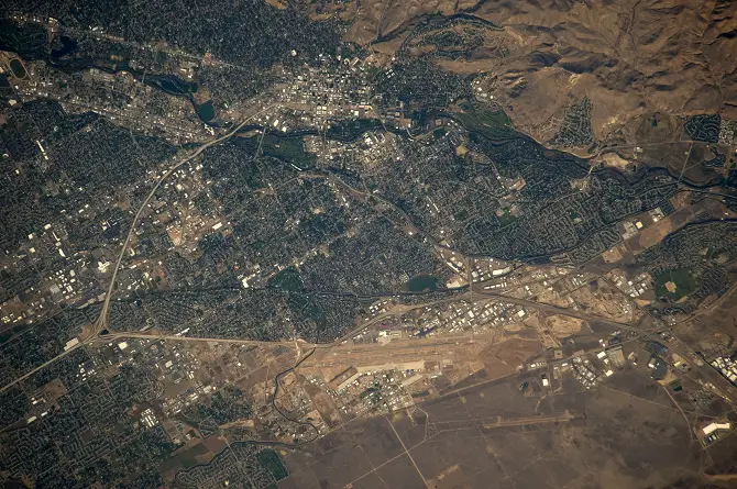
In this education, you will work with different types of data – raster and vector. You will need to understand how to enter new data in the system and be able to record and describe that data. You will learn about computer tools like layers and filters, and analytical tools like scale, place, and spatial relations. In talking with employers, I found they value employees who can think for themselves and work with others.
This video discusses the necessary skills for a career in GIS.
A GIS degree can be a bachelor’s or a master’s degree in geography or an allied field. Other majors, like biology or history, may host programs featuring GIS analysis. Geography is not offered at every college, but you can find colleges in every state with GIS programs. Bachelor’s degrees tend to take four years and master’s degrees take two more years.
If you have an existing bachelor’s degree or are in the process of earning one, another path into the GIS professions is a certificate program. There are over 200 colleges offering GIS certificates, and they can be earned online. Certificates tend to require between 3 and 5 classes and can be completed in a semester or two. GIS certificates are a crash course in using GIS programs to perform spatial analysis.
Coding
These first two steps are enough to get you into a GIS career but to become a GIS software developer, you need one more thing: coding. A GIS programmer will spend much of their time coding. If you already know enough coding to build websites, then you are at a good entry-level. You need to be able to play around with the software and make new things. If you are not at that level, there are many good online classes that will teach you programming.
If you only pick one language, learn Python. That is the language most used within GIS programs. But the programs you make will not stay in one place. GIS is often meant to be shared around the community to enable group decision making. GIS systems often go online and knowing Web APIs can help. I learned HTML and CSS because these are the most used languages in setting up websites.
After that, learning other programming languages depends on your specialization. If you want to go into major software development, you will need to know C++. If you want to design the consumer interface, JavaScript and Web APIs are useful. If you want to work with the back-end servers, PHP is good. Database design and management use SQL. Other useful languages include .NET, Visual Basic, XML, Flex, AML, and Avenue.
This video discusses the merits of learning different programming languages for work as a GIS developer.
Be prepared, these languages, and how coding works, will change in the future. You need to be able to teach yourself new procedures and software as they come along. Employers value employees who are eager to keep learning.
Tips and Tricks for Future GIS Developers
The best thing you can do is get your hands on some GIS software and play around. If you do not have access to a major GIS program, you can find GIS mapping all over the internet. Look at Google Maps. The US Census uses GIS to explain population characteristics. The CDC has online GIS public health tools.
If you don’t know how to code, learn that. There are many free programs and paid ones online. Check out updated information about learning GIS.
Boost your critical thinking about maps. Find some maps and start to question them. Who made this map? Why did they make it? Who are they communicating to? Are they leaving out any crucial information? Is there another story that could be told? What information would you need to do that? Is there a better way to communicate the information? Where did they get their data? These are questions that GIS developers ask themselves daily. Getting in practice early will help you see if you like the job.
Talk to people who work in the field. Trust me, most of the people I have met in GIS love to talk about their work. They find that they are doing both challenging and important work and will tell you all about it. If you cannot find someone, watch some professional webinars to learn about the jobs.
Recent GIS Developer Jobs
You can find GIS developer jobs in all of the big public sites. Other places to look include private places like the GIS Lounge and the GIS Jobs Clearinghouse. Potential employees can upload resumes at GIS Jobs. GIS developer jobs are numerous, well-paying, and easy to find.
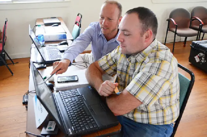
ESRI, the maker of ArcGIS, is one of the largest private employers. When I looked them up, they had 237 total jobs available, 85 of them in software development.
The federal government is the biggest employer of GIS developers. Federal branches hiring GIS programmers (they call them specialists) include the Bureau of Land Management, the military, the National Geospatial-Intelligence Agency, and many other agencies.
Your Path to a Meaningful Career
GIS developers take on some of the biggest problems in our world today and help solve them! With this skill set, you will be in demand and employers will be looking for you. To get here, you need three things 1) general education, 2) GIS certificate, 3) programming knowledge. The key to this career is finding a good GIS certificate program.
